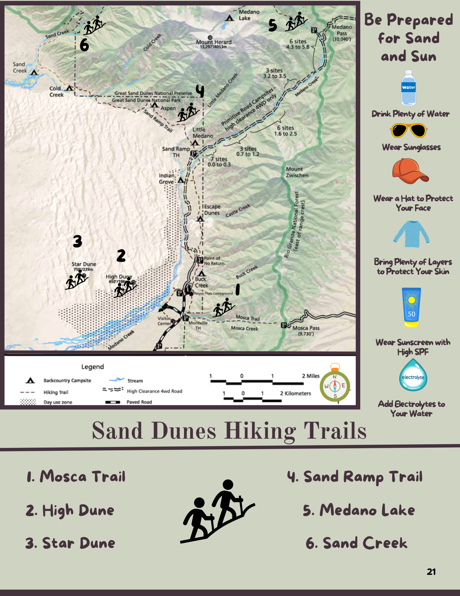
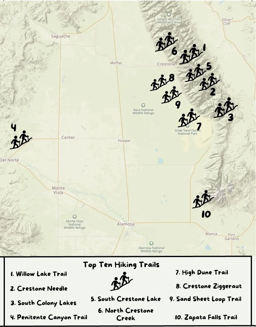
Local Hiking Trails

North Crestone Creek Trail
The North Crestone Trail is 5.7 miles long. It begins at Forest Road 950 and ends at N. Crestone Lake. This trail offers excellent possibilities for extended backpacking, connects to Trail # 746 & 747, or just a good day hike from the campground. Fishing is possible along the creek and at North Crestone Lake. Trailhead located at the east end of North Crestone Campground.
Visit the US Forest Service Website for Detailed Information

Willow Lake Trail
The Willow Lake Trail is a challenging trail 4.8 miles long. It begins at Forest Road 949 and ends at Upper Willow Lake. Good for a long day trip or an extended trip. Horses can get within 300 yards of the lake. Offers fishing, Willow Falls, access for climbers to Crestone Needles, Crestone Peak, Challenger Point, and Kit Carson Peaks. Also offers excellent views of the San Luis Valley.
Visit the US Forest Service Website for Detailed Information
Cottonwood Creek Hike Video
Cottonwood Creek Trail
The Cottonwood Creek Trail is approximately 1 mile long. It begins at the Temporary Trail Head and dead ends northeast of Cottonwood Lake.
Attractions are Cottonwood Lake, spectacular rugged scenery, access to some of the higher peaks for mountaineering and the opportunity for some challenging hiking.
Visit the US Forest Service Website for Detailed Information

Stone Native American Huts
2180 Spanish Creek Rd, Crestone, CO 81131
Stone Huts Build by Native Americans to store food. Short Walk

Order the SLV Travel Guidebook Today
Order the SLV Travel Guidebook Today

For Hiking Maps & MUCH MORE visit:
Wildlife and Nature Photography
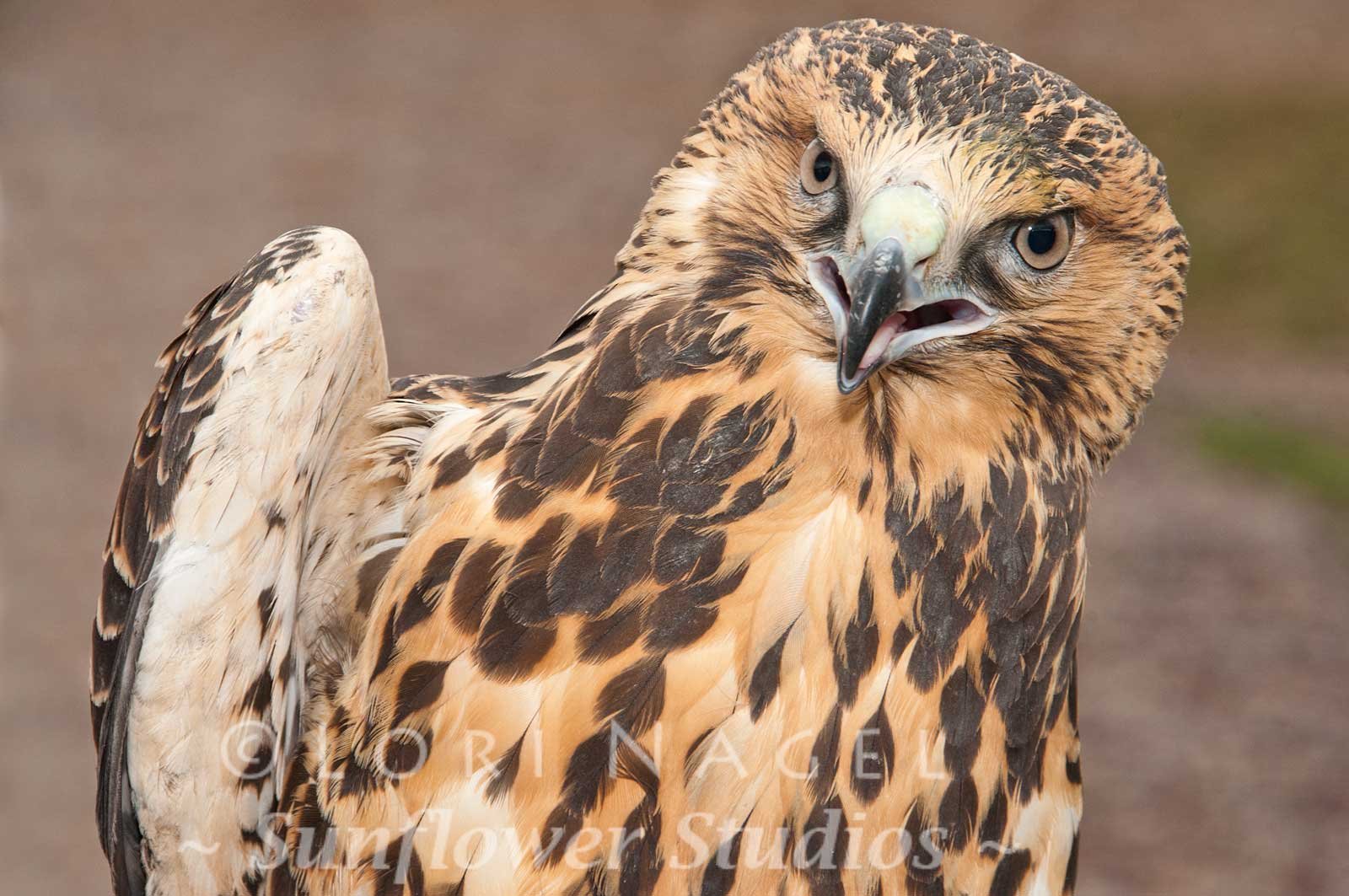
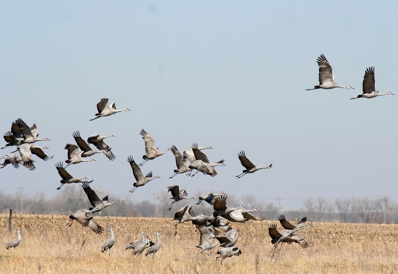
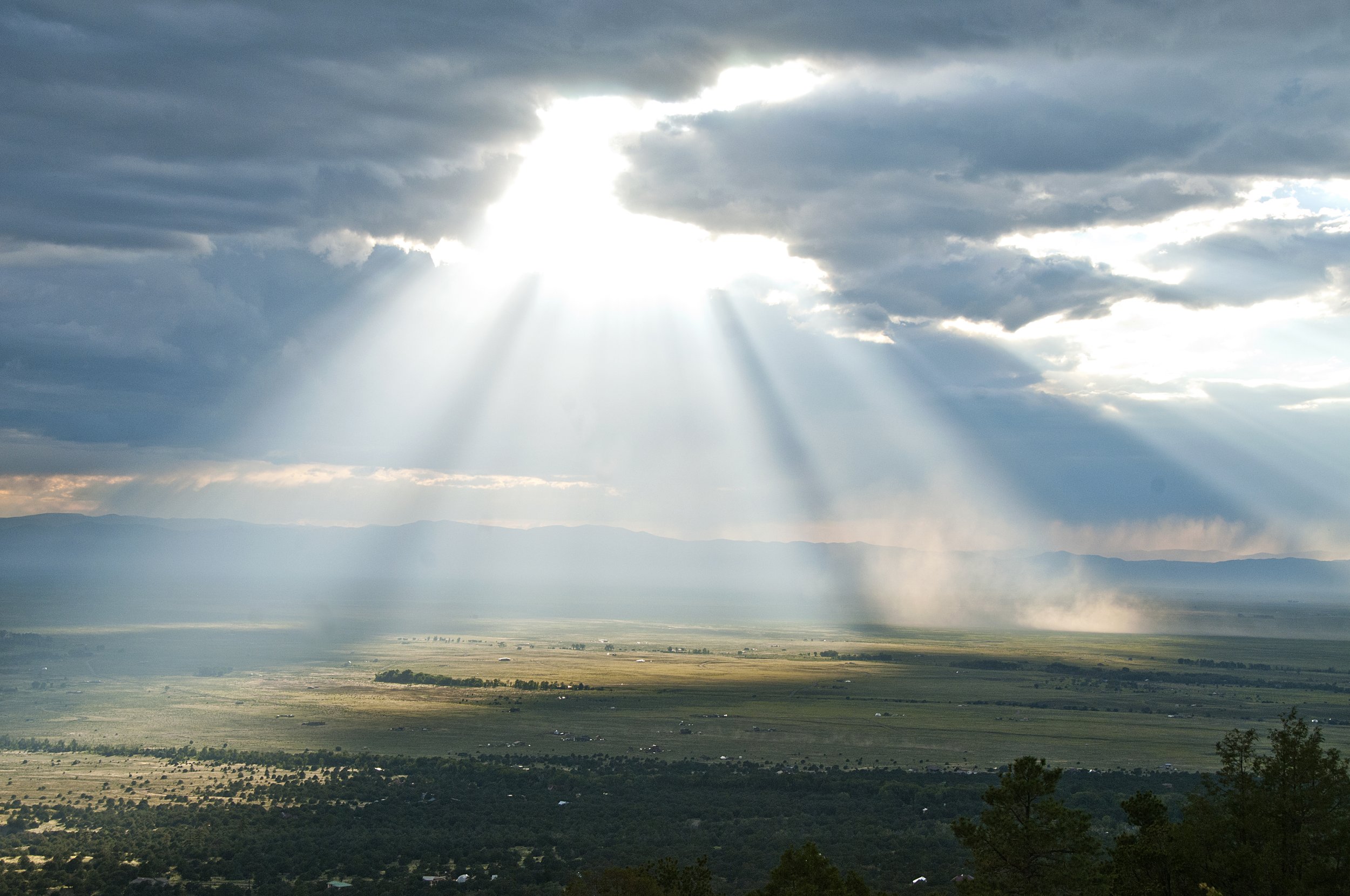
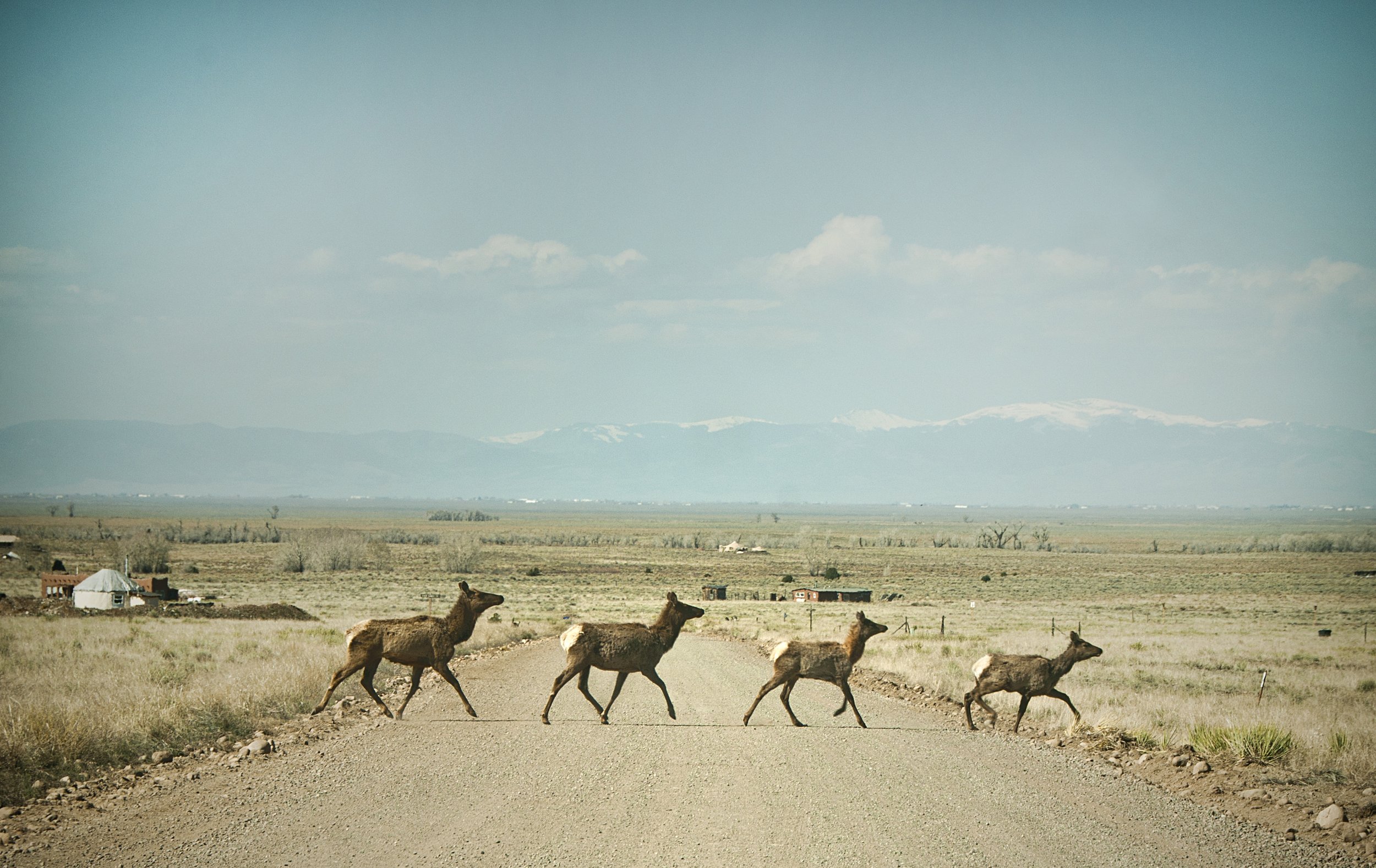
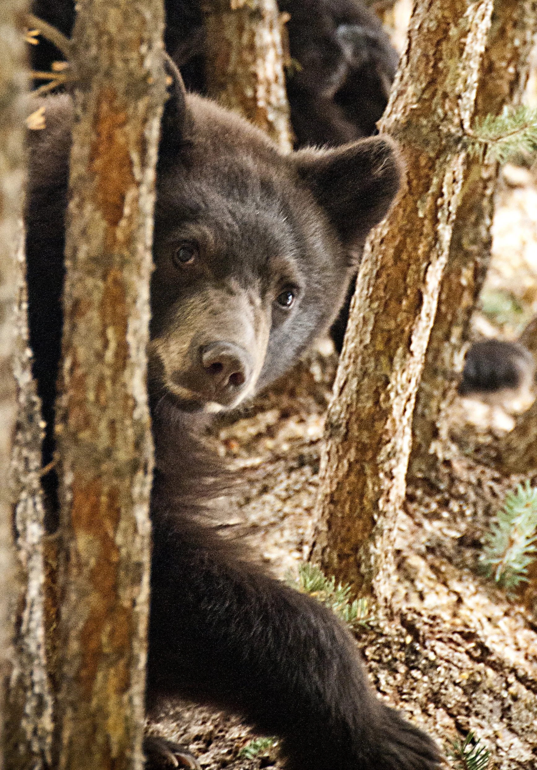
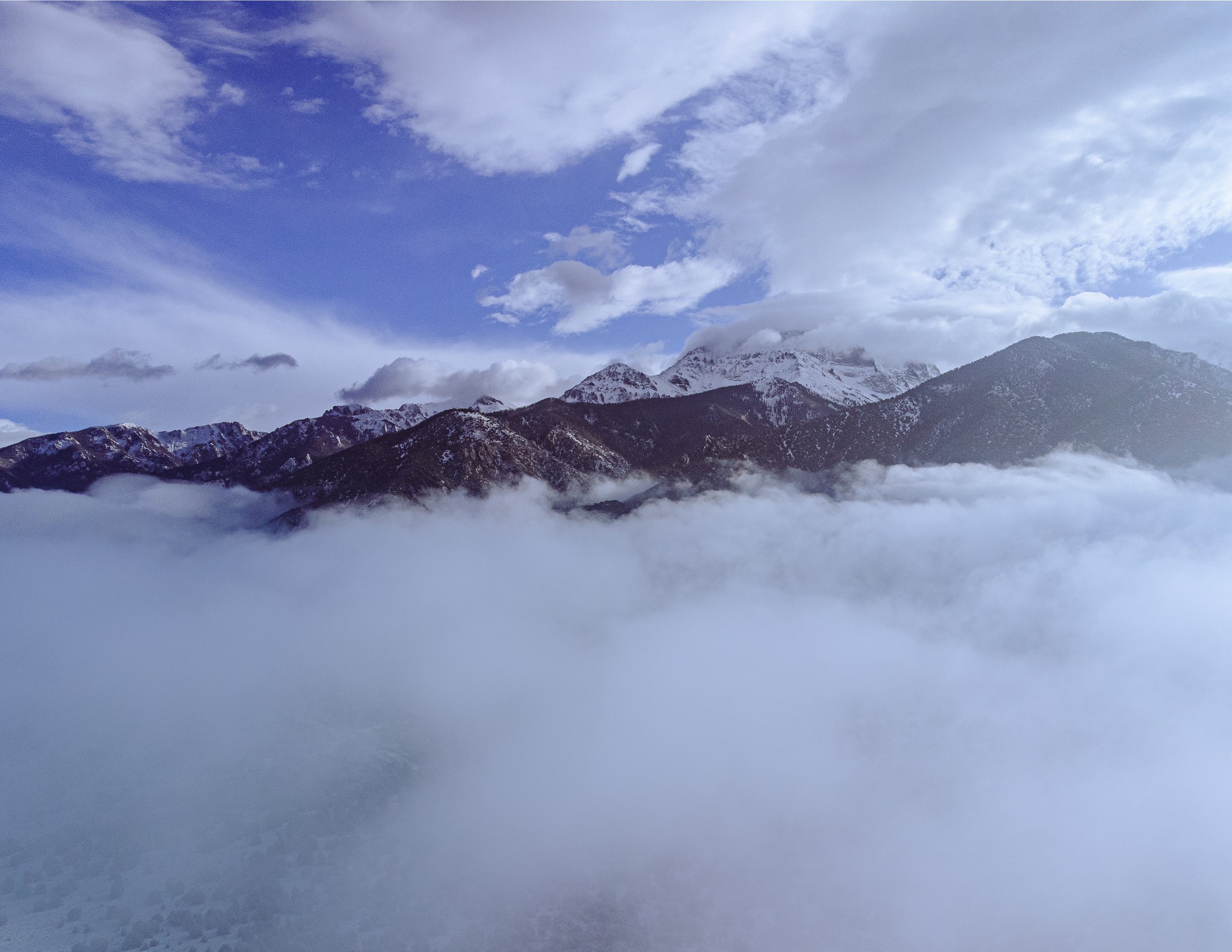
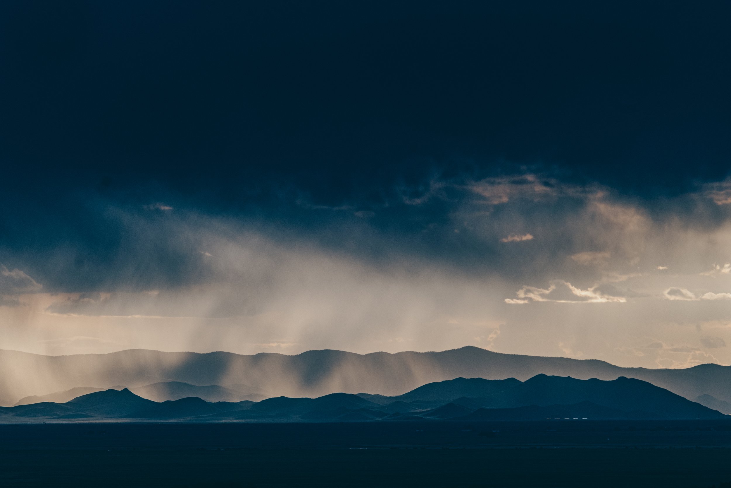
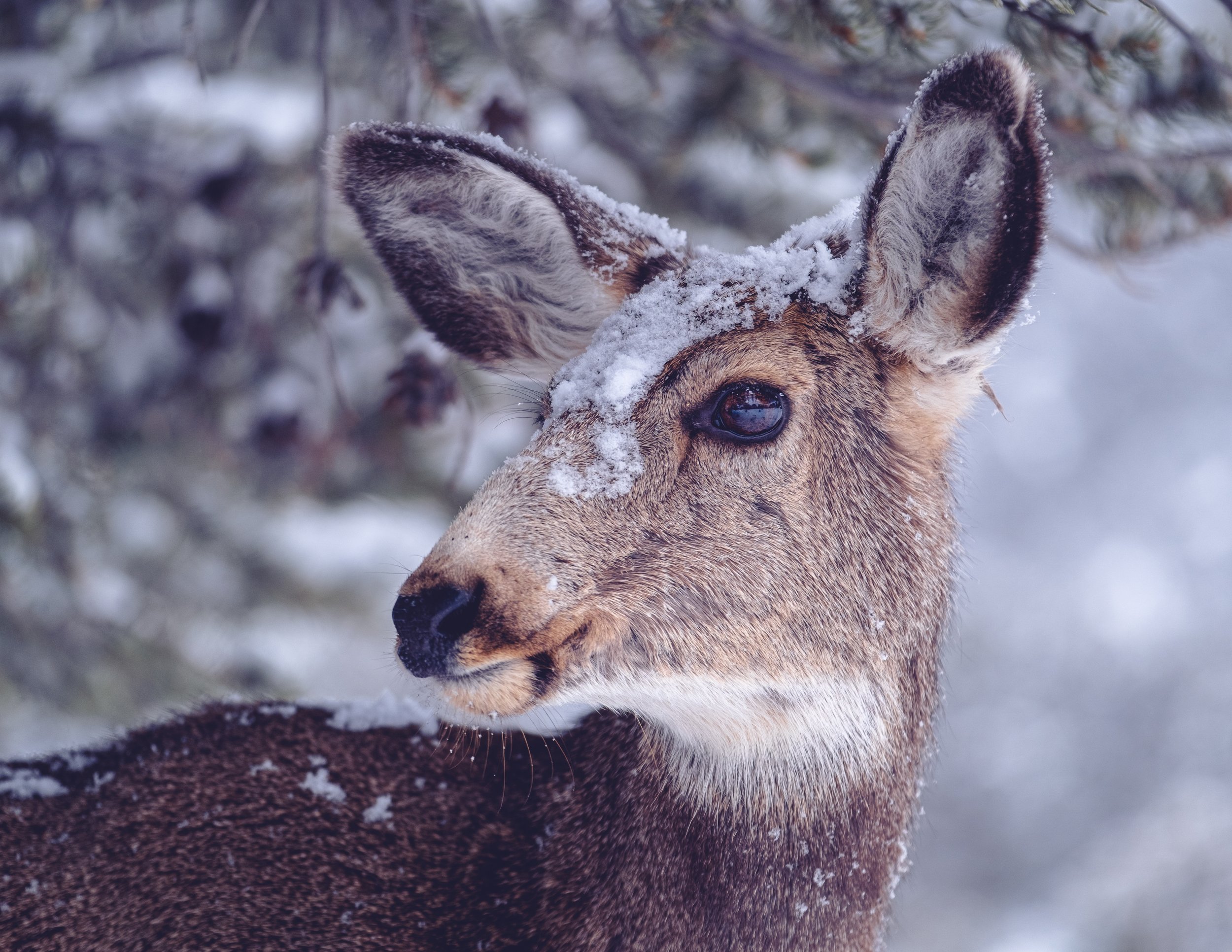
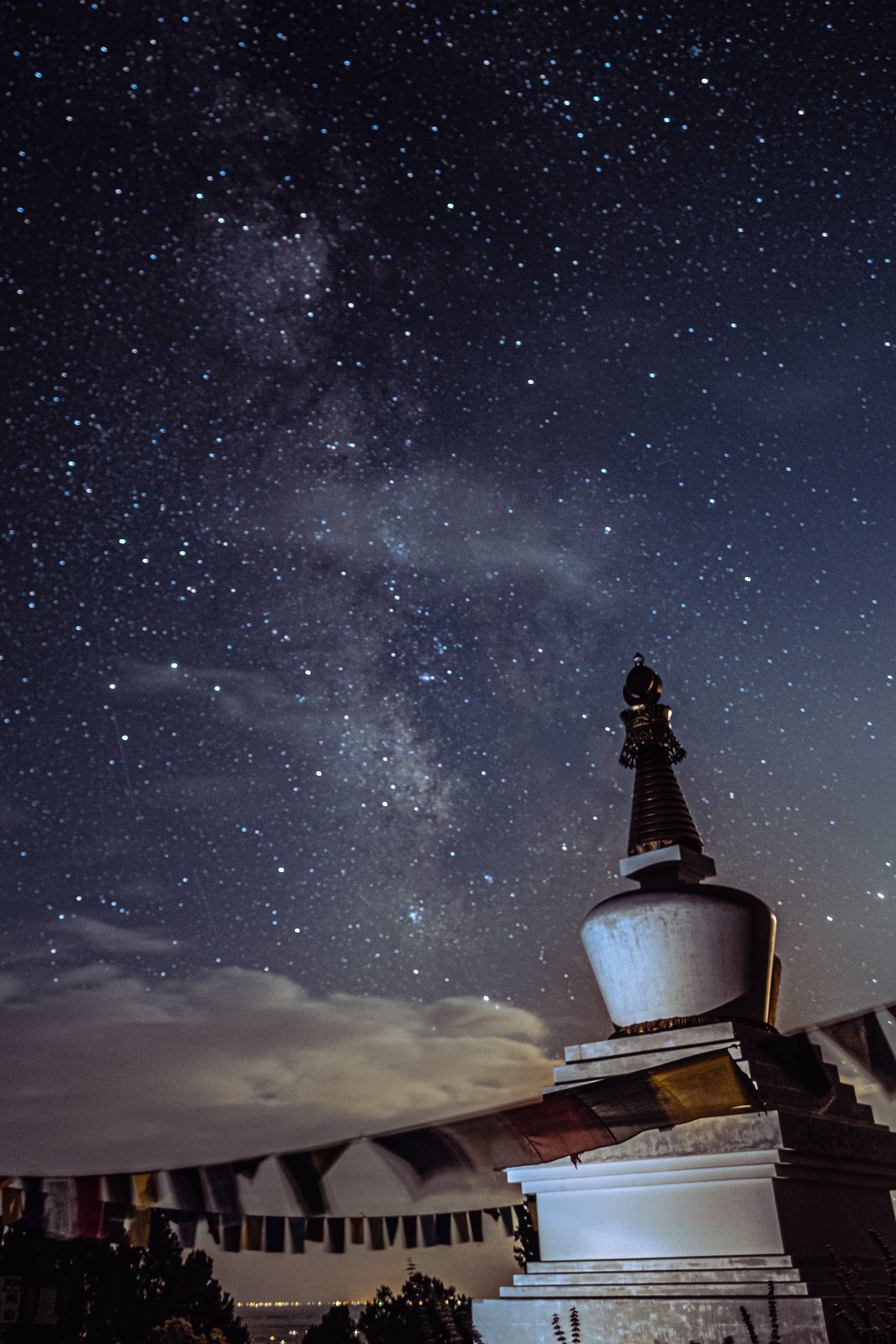
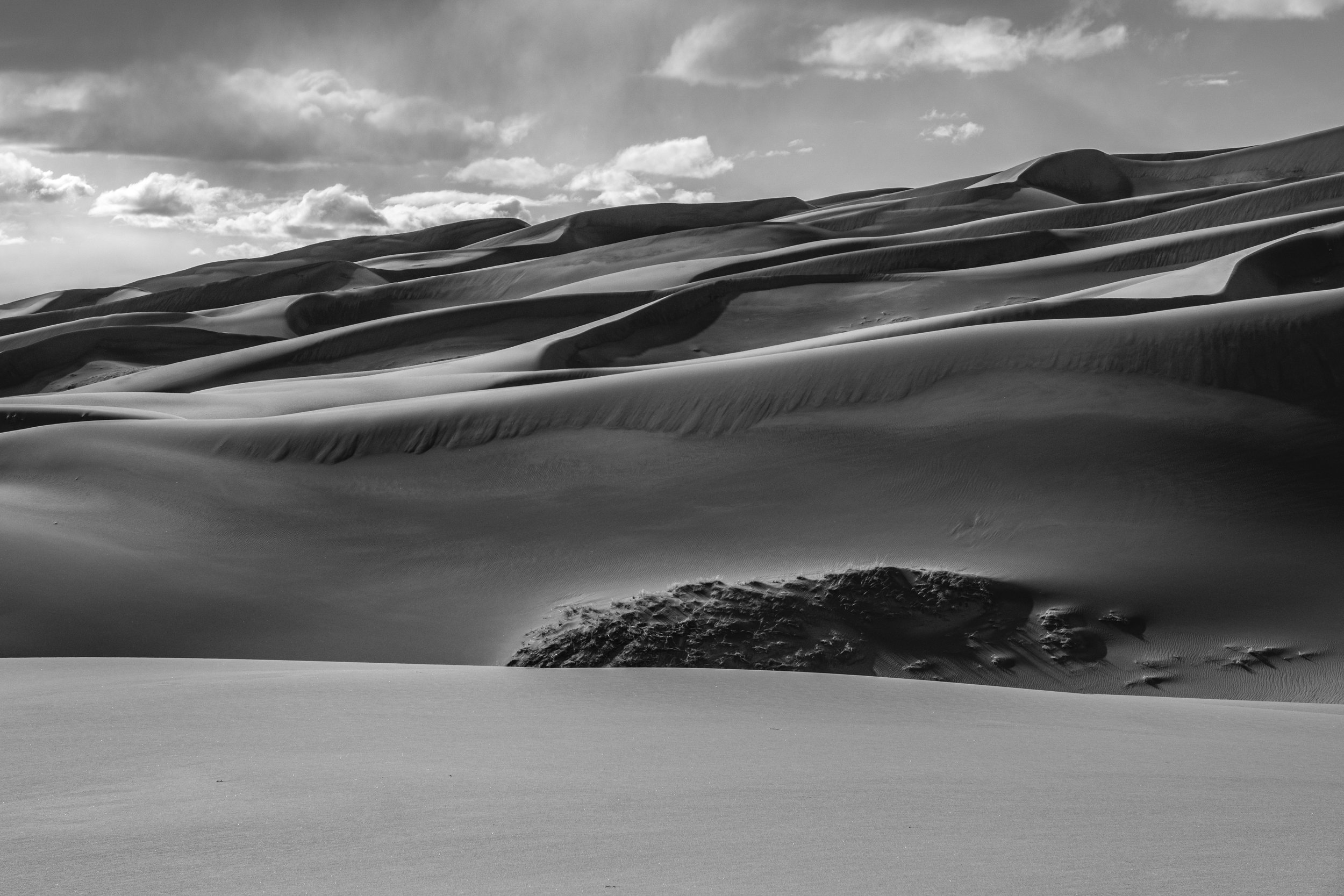
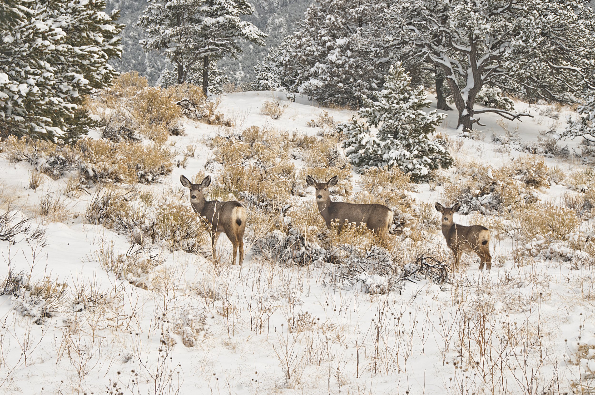
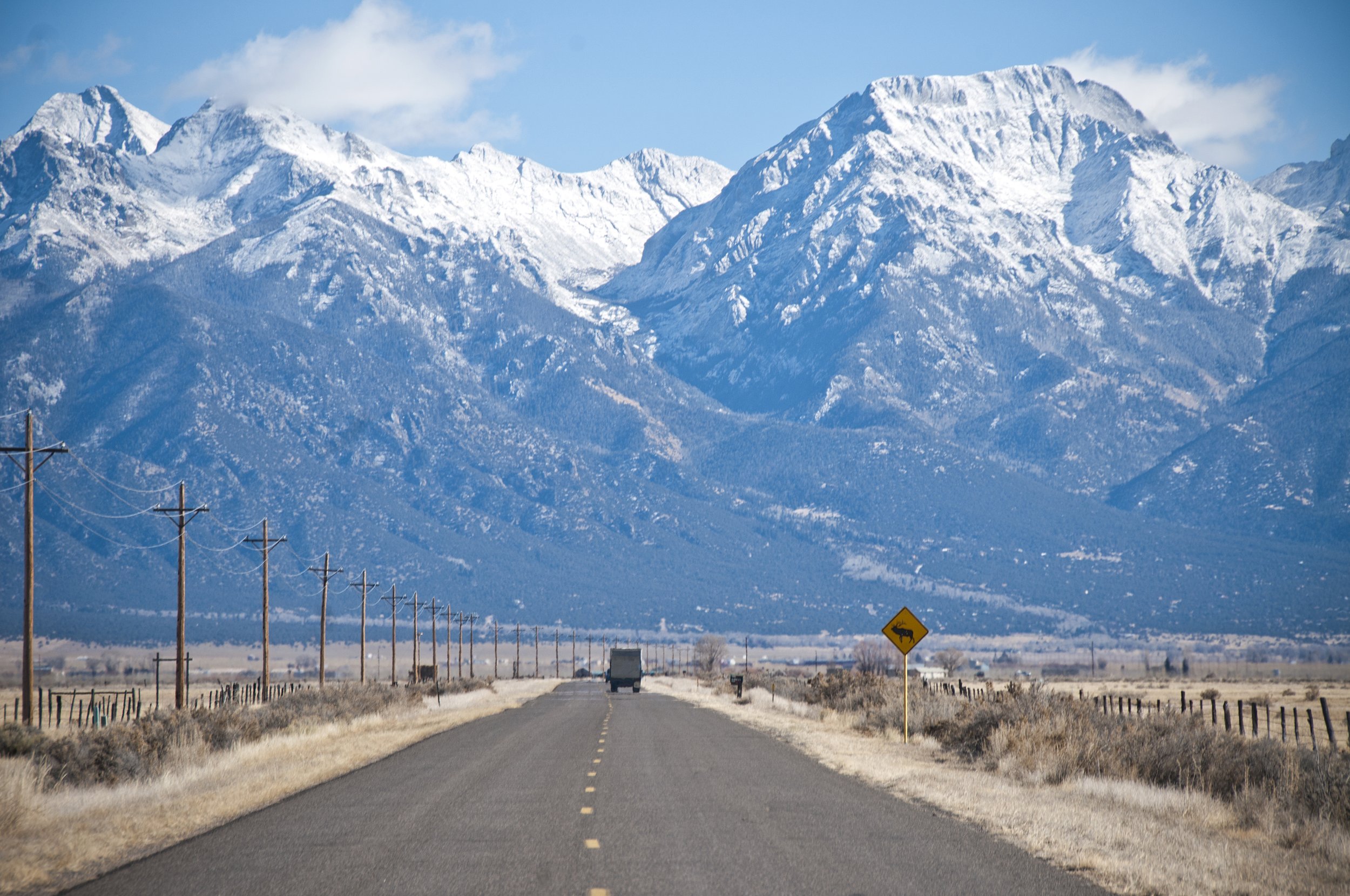
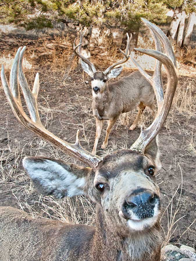
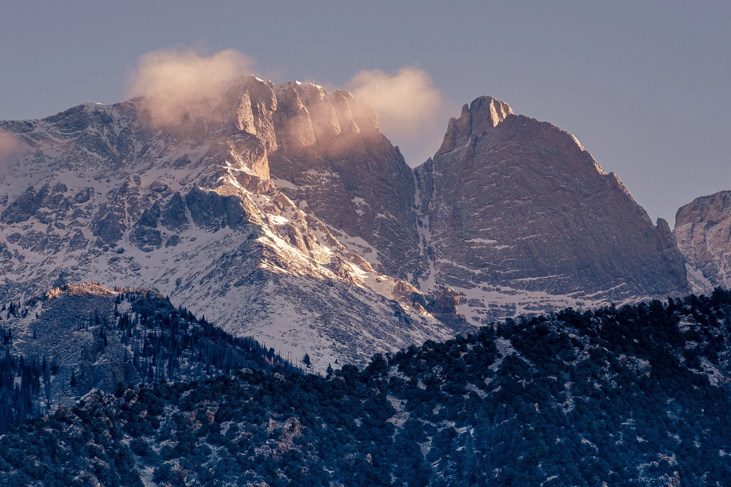
Crestone is a world class wildlife experience. Hawks, Falcon, Deer, Bobcat, Elk, Coyote and Bear along with other animals make Crestone and the Baca their home. Crestone and Sand Dunes National Park are now designated Dark Sky Communities making for some incredible nightscapes. The majestic Sangre de Cristo Mountain Range and the San Luis Valley make for dramatic landscapes. Many opportunities for great photography and wildlife viewing and hunting are found here near the Baca Wildlife Refuge and the National Forests surrounding Crestone.
Herd of Elk in the Baca